


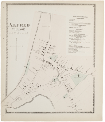
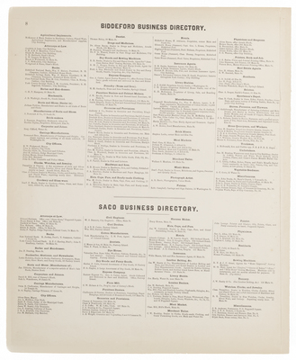
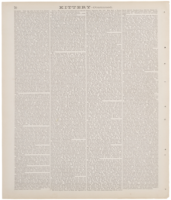
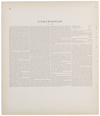
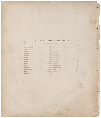
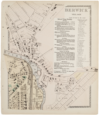
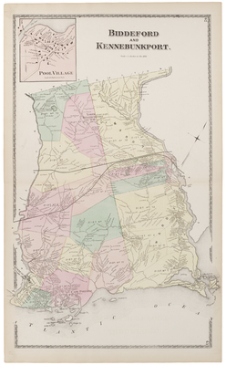
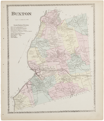
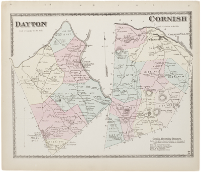
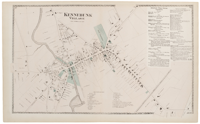
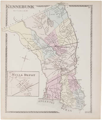
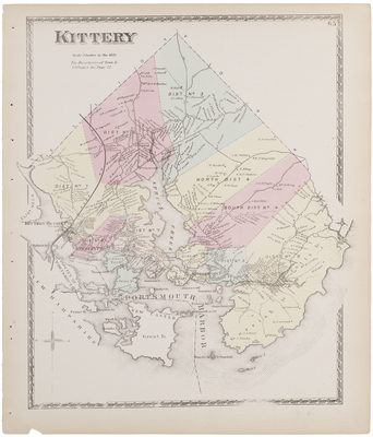
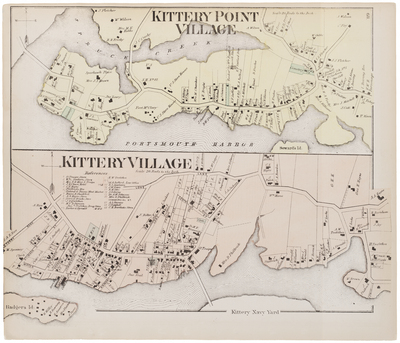
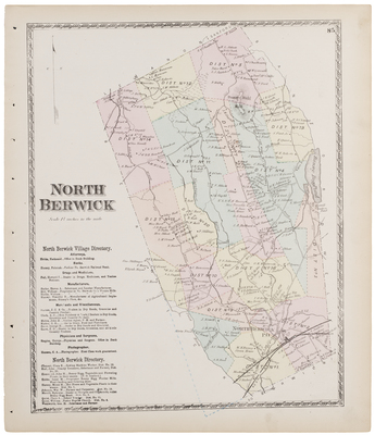
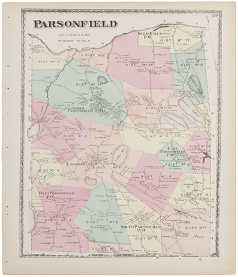
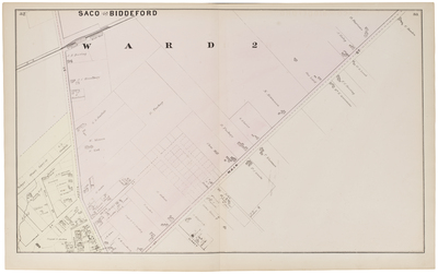
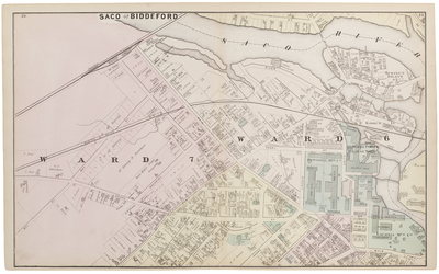
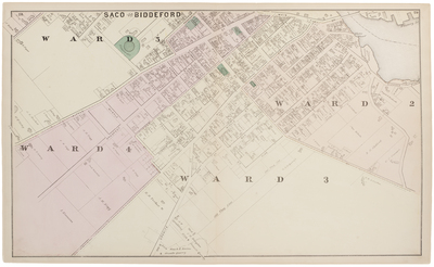
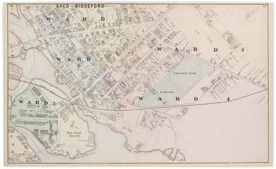
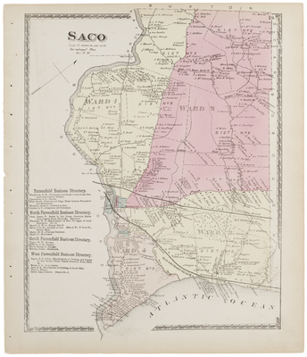
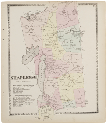
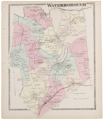
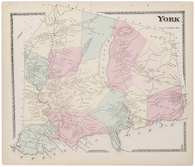
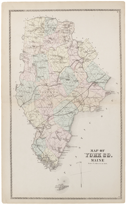
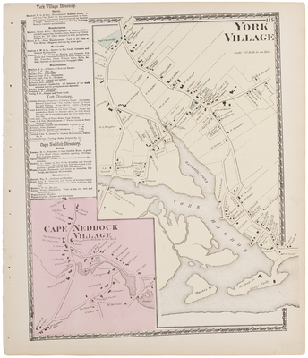
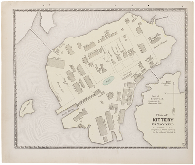
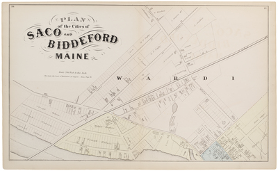
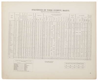
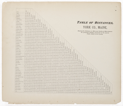
Atlas of York County, Maine. From actual Surveys, drawn and Published by Sanford, Everts, & Co., 320 Chestnut Street, Philadelphia, 1872.
Printing is not supported at the primary Gallery Thumbnail page. Please first navigate to a specific Image before printing.


