


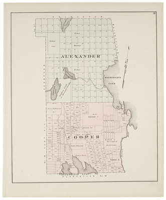
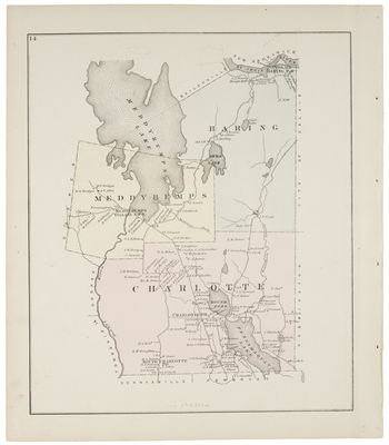
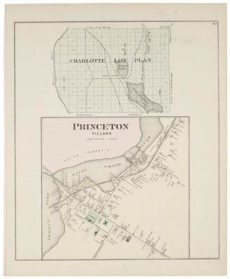
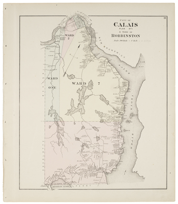
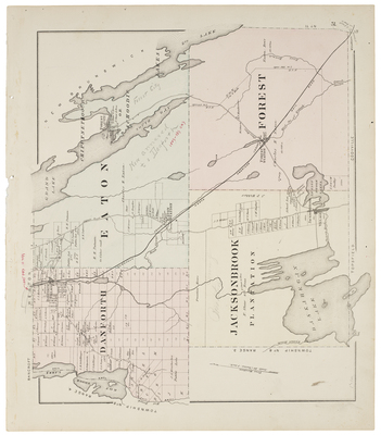
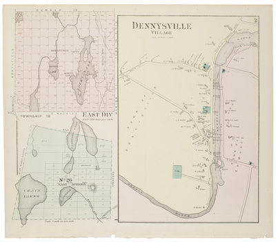
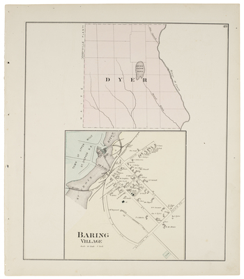
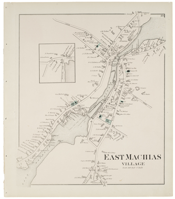
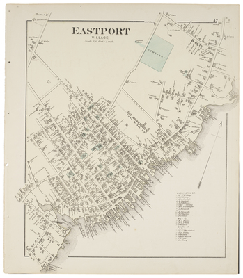
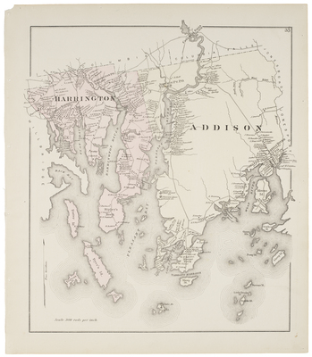
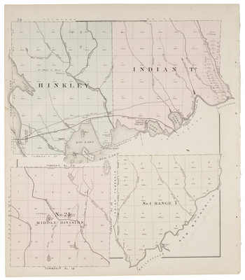
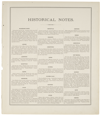
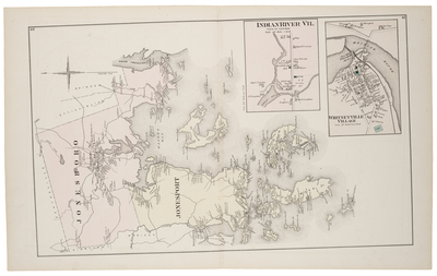
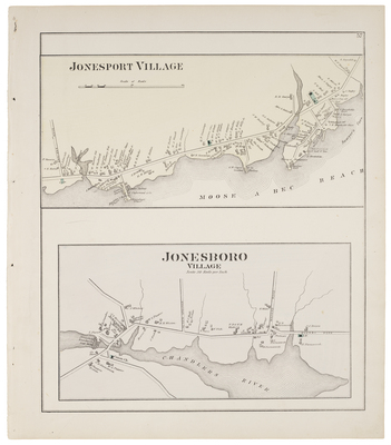
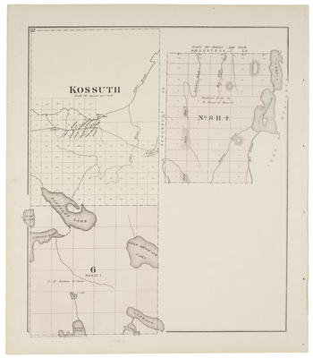
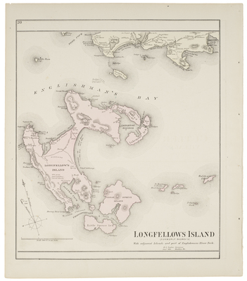
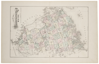
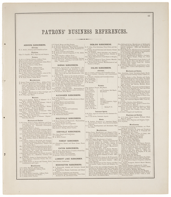
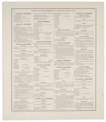
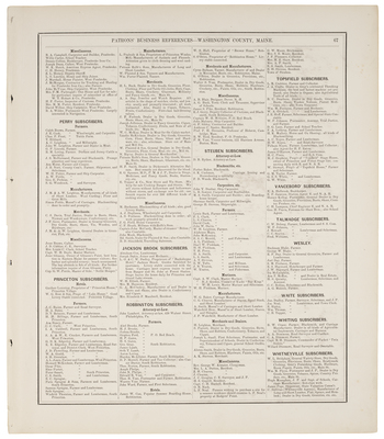
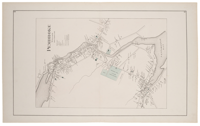
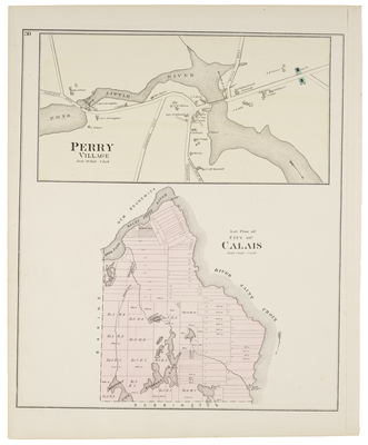
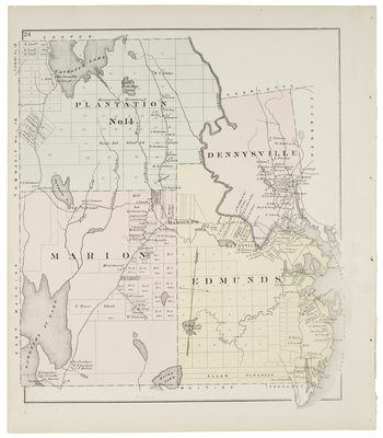
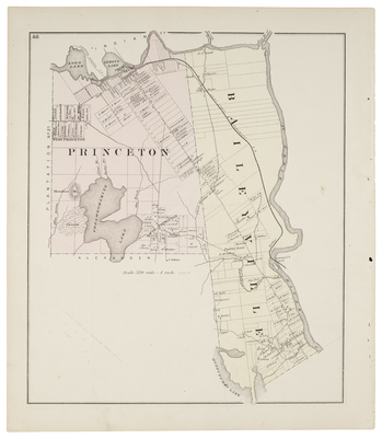
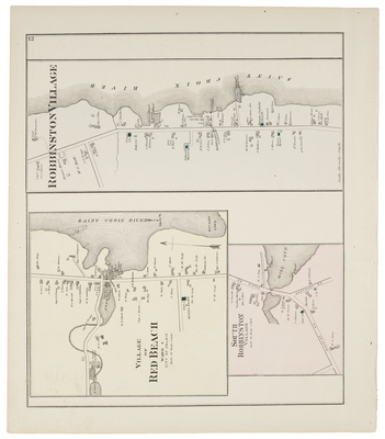
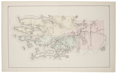
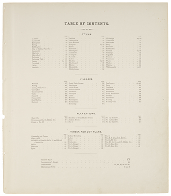
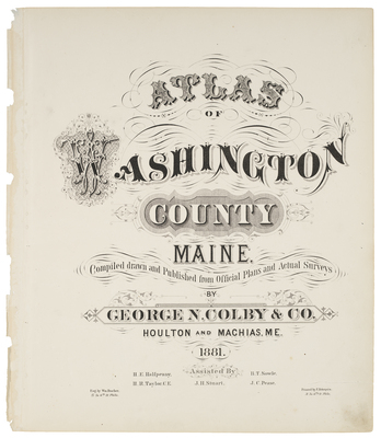
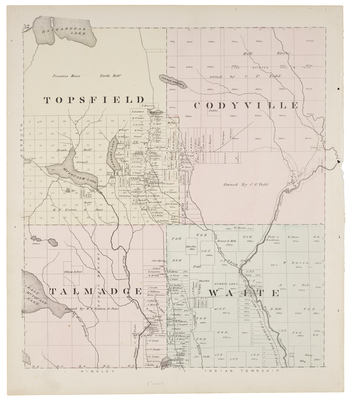
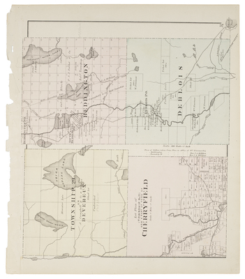
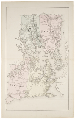
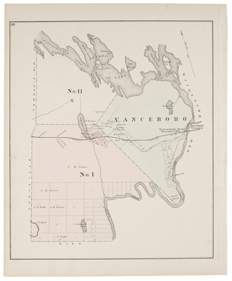
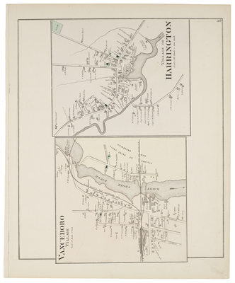
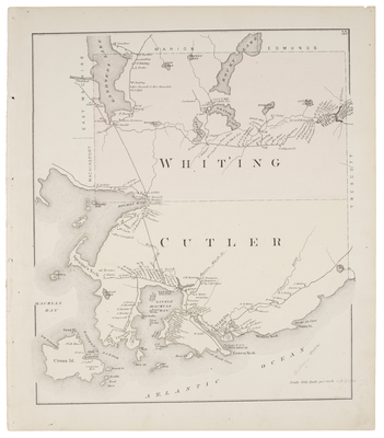
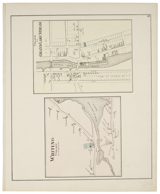
Atlas of Washington County, Maine. Compiled, drawn and Published from Official Plans and Actual Surveys by George N. Colby & Co., Houlton and Machias, ME, 1881.
Printing is not supported at the primary Gallery Thumbnail page. Please first navigate to a specific Image before printing.


