


Title
Preview
Document Type
StillImage
Contributing Institution
Maine State Archives
Identifier
29071
Description
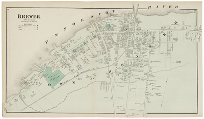
Penobscot County Atlas published 1875. Pages 74 & 75: Brewer (street map).
Exact Creation Date
1875
Language
English
Location
Penobscot County
Keywords
Map; Atlas; Maine