

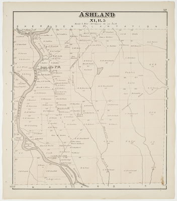
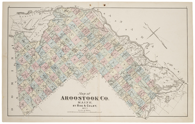
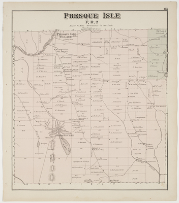
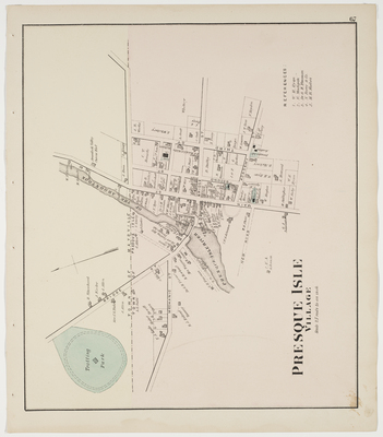
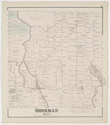
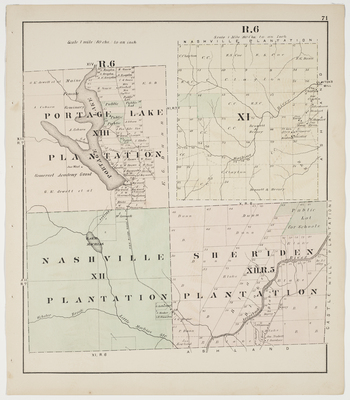
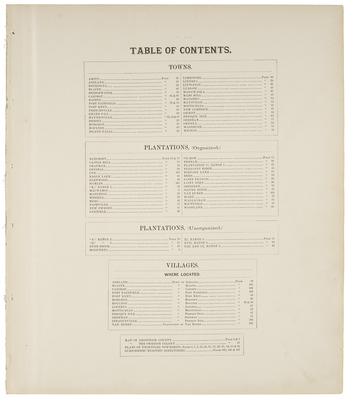
Atlas of Aroostook County, Maine. Compiled and Drawn from Official Plans and Actual Surveys by F. B. Roe & N.Geo. Colby. Published by Roe & Colby, 27 South 6th Street, Philadelphia, PA, 1877.
Printing is not supported at the primary Gallery Thumbnail page. Please first navigate to a specific Image before printing.


")
")
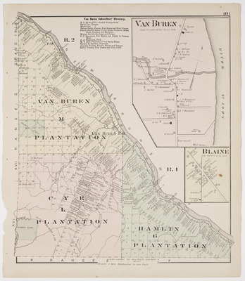
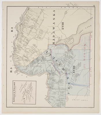
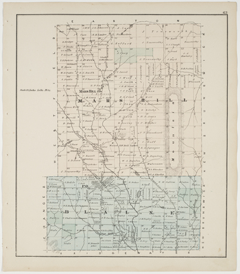
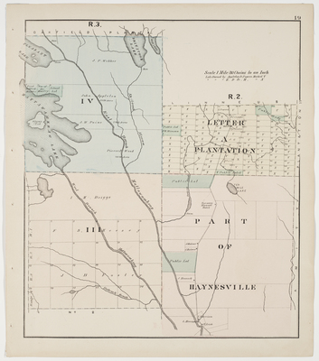
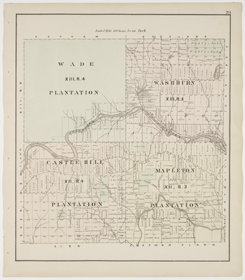
 & Van Buren(M,R2), Cyr (L,R2) & Hamlin (G,R1) Plantations")
")
")
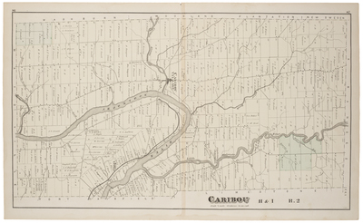
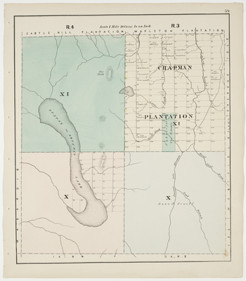
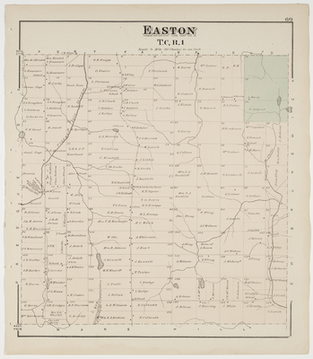
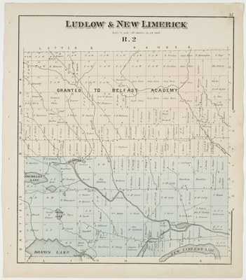
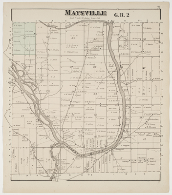
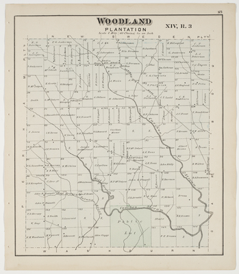
, T11R4, T10R4 & T10R3")
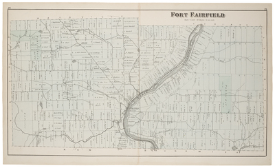
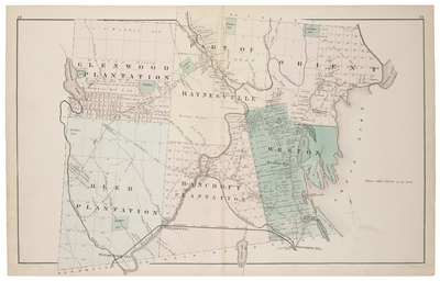
 & Westfield Plantations, T15R7 & Letter 'E' R2")
")

")
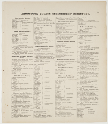
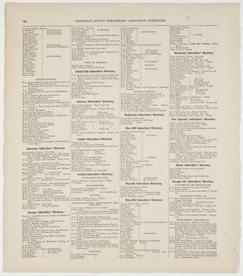
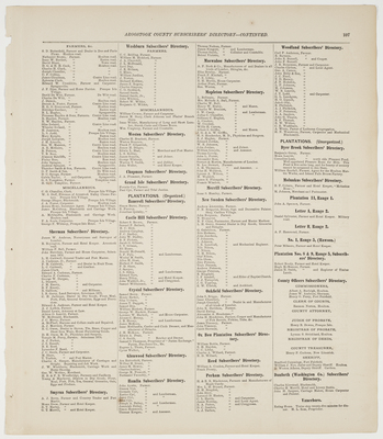
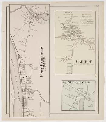
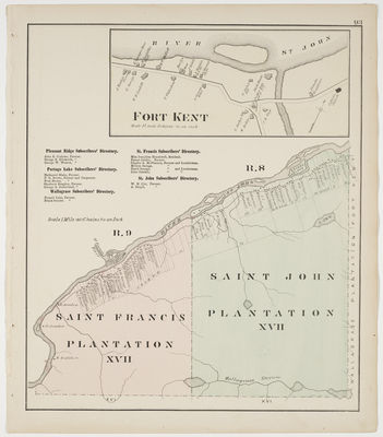
 & Saint John (T17R8) Plantations, incl. business directories")
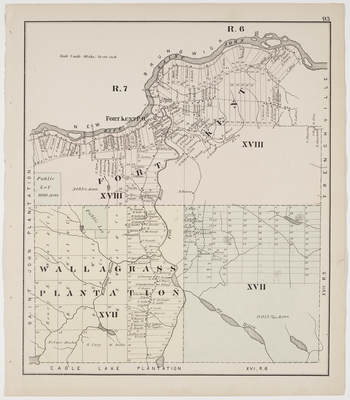
, Wallagrass Plantation (T17R7) & T17R6")

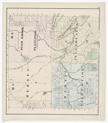
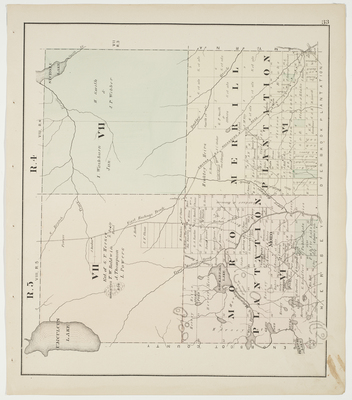
, Dyer Brook Plantation (T5R4), Crystal Plantation (T4R5) & Island Falls (T4R4)")


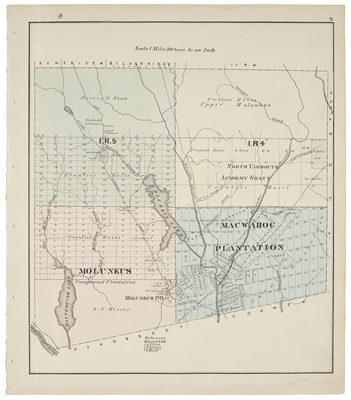
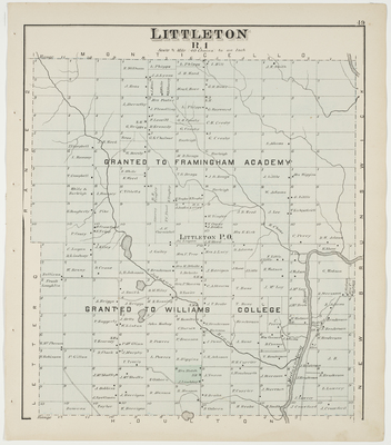
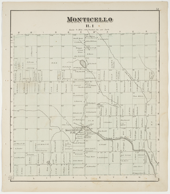
, I, R4 (No. Yarmouth Academy Grant), Molunkus, Macwahoc Plantation")
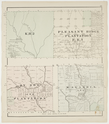
, Ox Bow (T9R6) & Pleasant Ridge (Letter 'F' R1) Plantations")
 Aroostook Cty. Atlas 1877-29067.jpg")
