Home
Search
Browse State Agencies
My Account
About
Digital Commons Network™
Skip to main content
Home
About
FAQs
My Account
Home
>
StateDocs
>
sos
>
ARCHIVES
>
ARC_IMG
>
ARC_MAPS
>
ARC_MISC_MAPS
Miscellaneous Maps
Printing is not supported at the primary Gallery Thumbnail page. Please first navigate to a specific Image before printing.
Follow
Switch View to List
View Slideshow
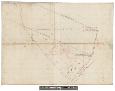
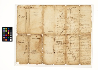
Map of land along Ammongongen River, 1760
Survey of James Chadbourne’s land in Kittery, February 1706
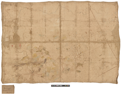
Map of Kittery Road and York Road, 1702
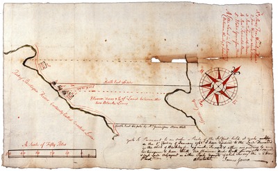
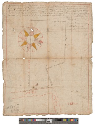
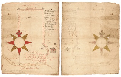
A Plot of Humphrey Chadburn's Farm at Sturgeon Creek, 1701
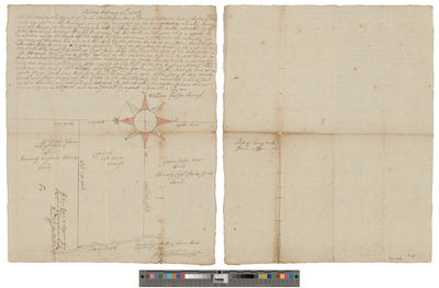
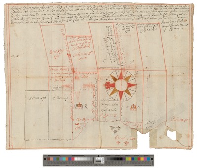
Map of Thomas Spinney's land surveyed by William Godsoe, December 1697
1
2
Search
Enter search terms:
Select context to search:
in this collection
Digital Maine
Advanced Search
Notify me via email or
RSS
Browse
State Agencies
Subjects
Contributors
For Agency Contributors
FAQs
Featured Links
Maine Government
Maine State Library
Maine State Agencies
Digital Maine Partners
Gallery Locations
View gallery on map
View gallery in Google Earth


