• Home
  • Search
  • Browse State Agencies
  • My Account
  • About
  • DC Network Digital Commons Network™
Skip to main content
Digital Maine Maine State Library
  • Home
  • About
  • FAQs
  • My Account

Home > StateDocs > sos > ARCHIVES > ARC_IMG > ARC_MAPS > ARC_FIRETOWER

Fire Tower Maps, Maine Forest Service

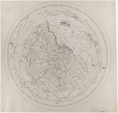
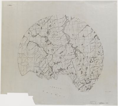
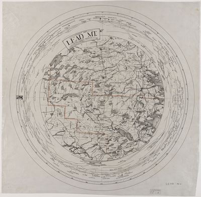
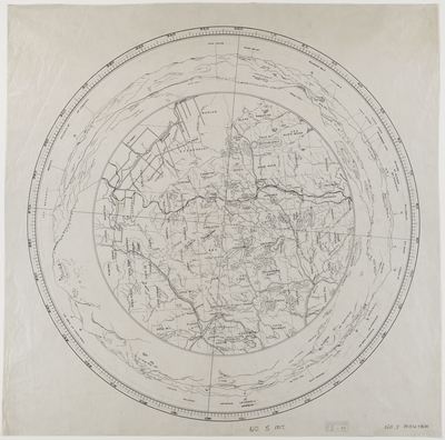
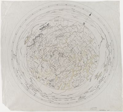
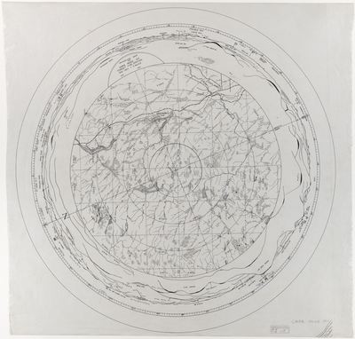
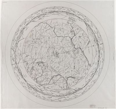
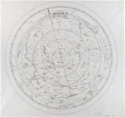
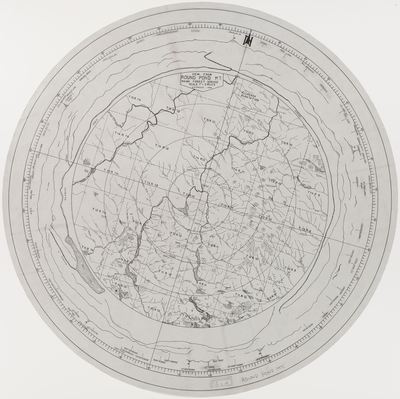
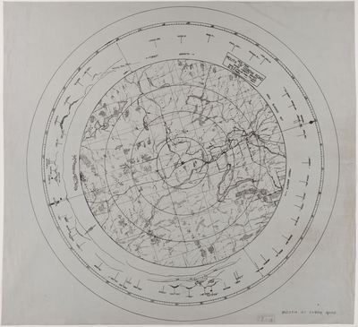
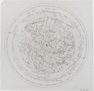
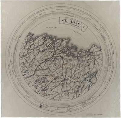
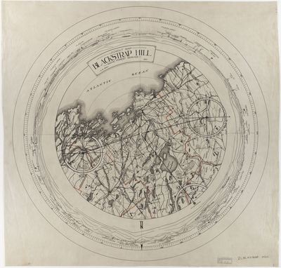
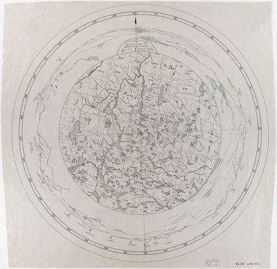
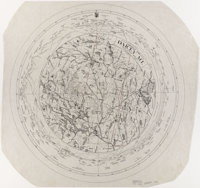
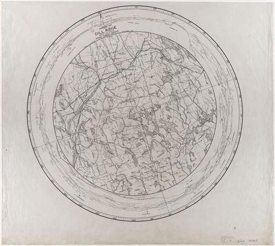
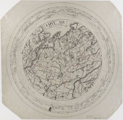
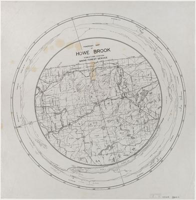
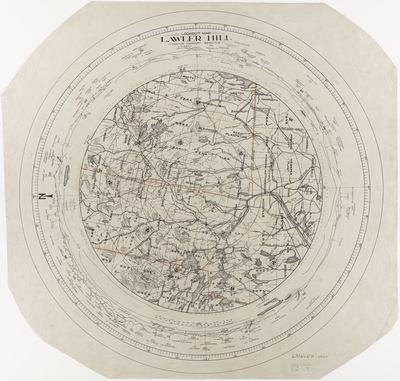
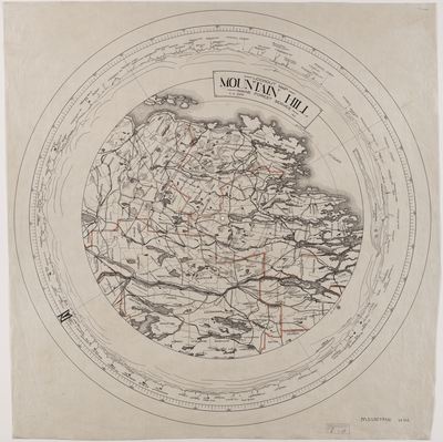
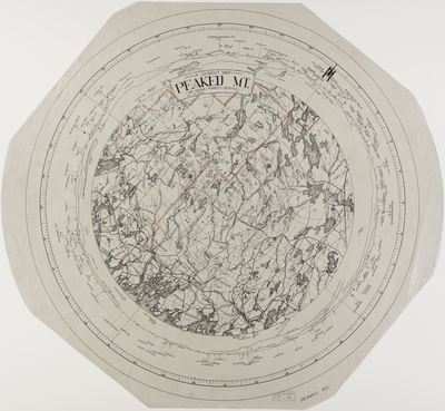
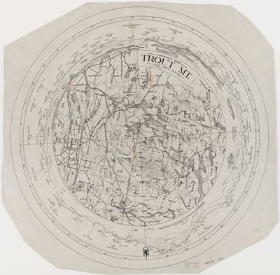
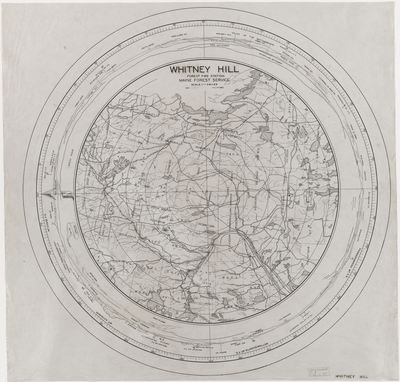
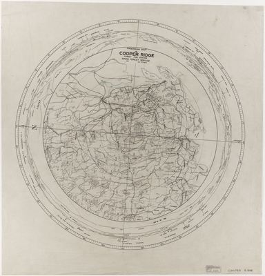
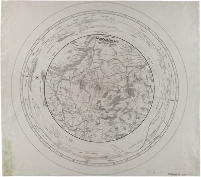
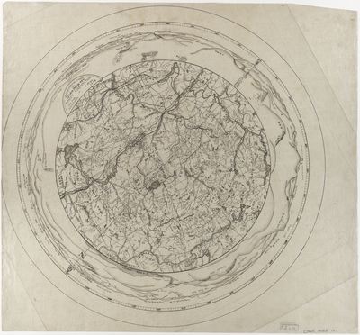
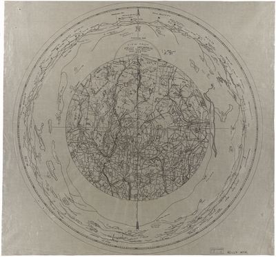
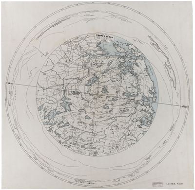
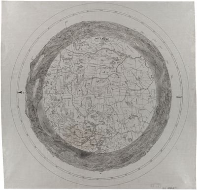
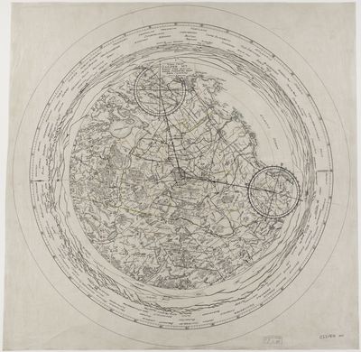
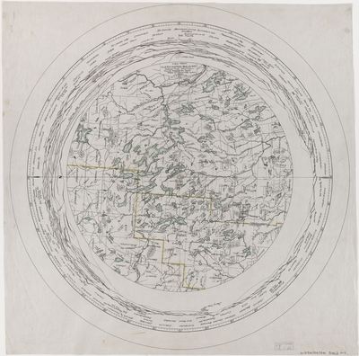
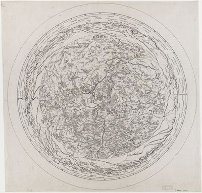
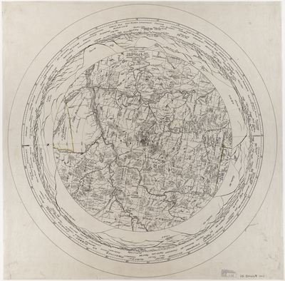
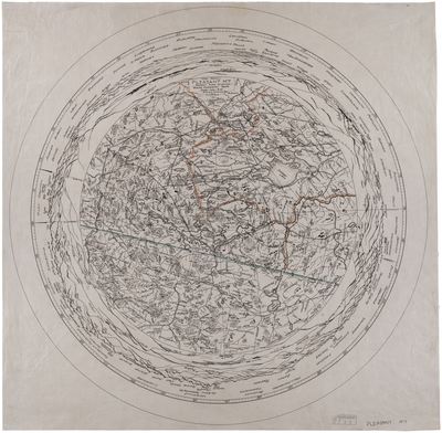
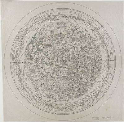
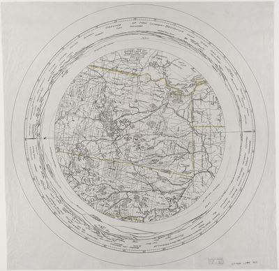
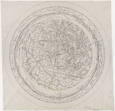
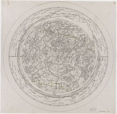
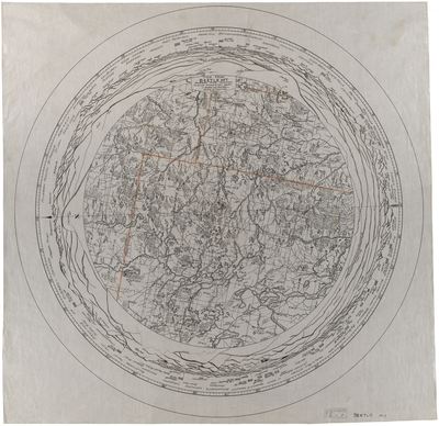
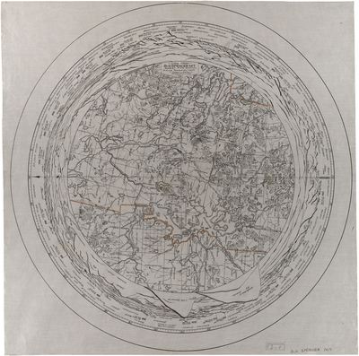
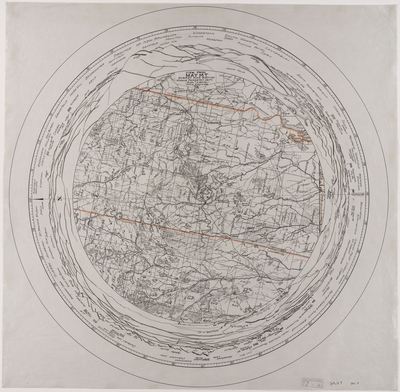
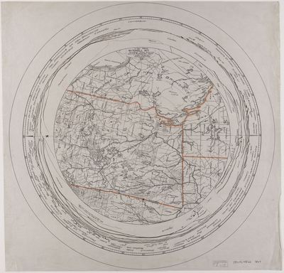
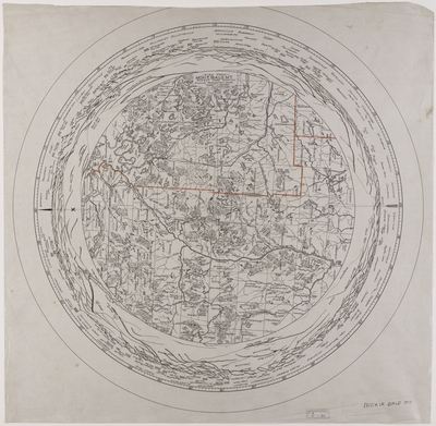
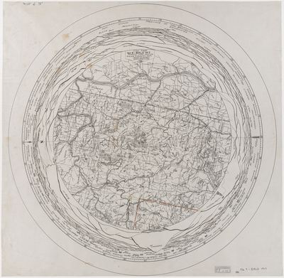
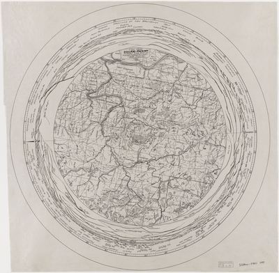
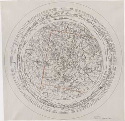
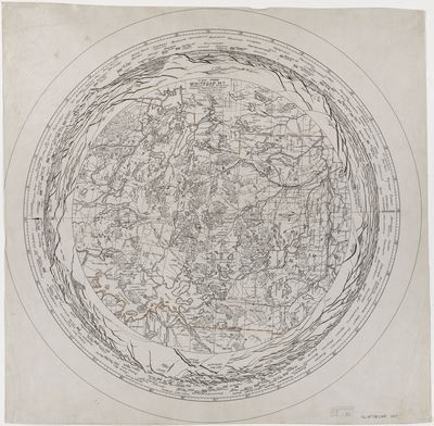
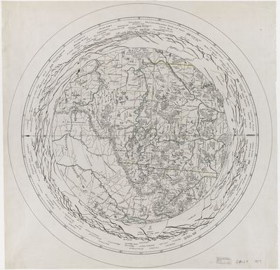
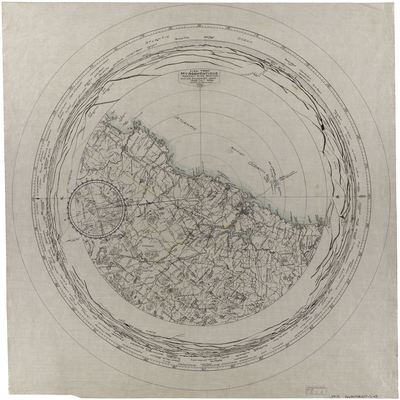
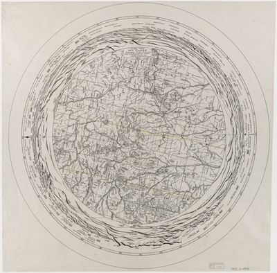
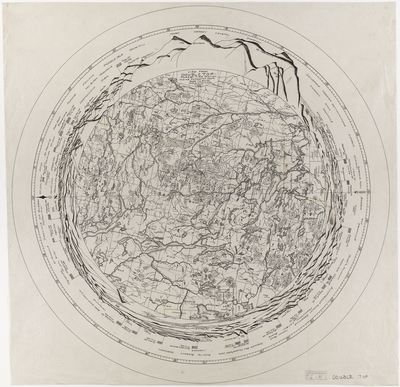
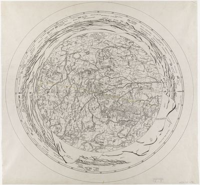
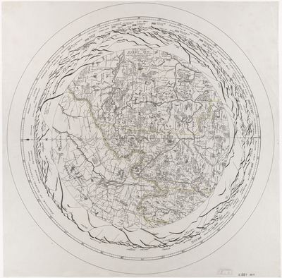
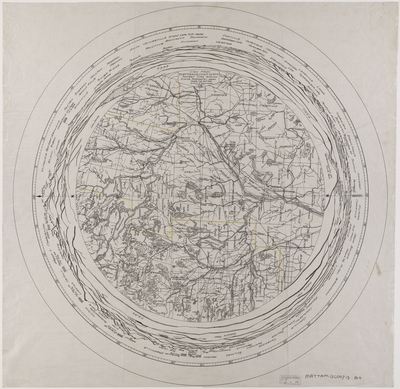
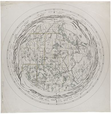
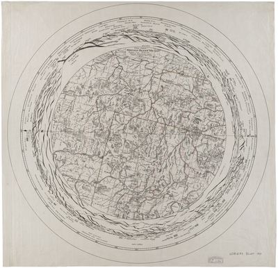
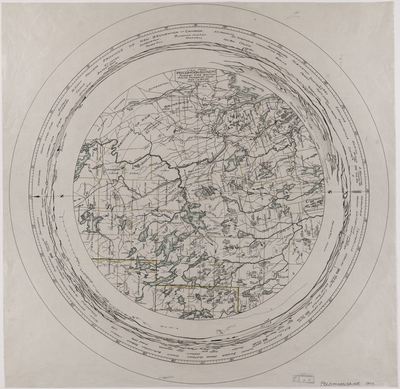
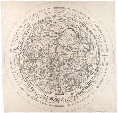
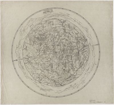
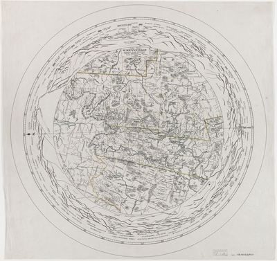
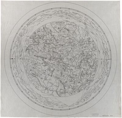
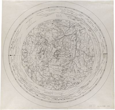
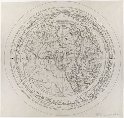
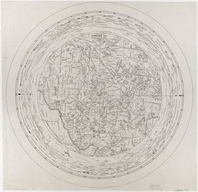
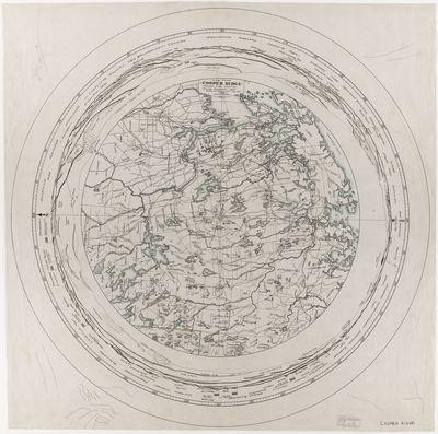
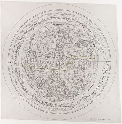
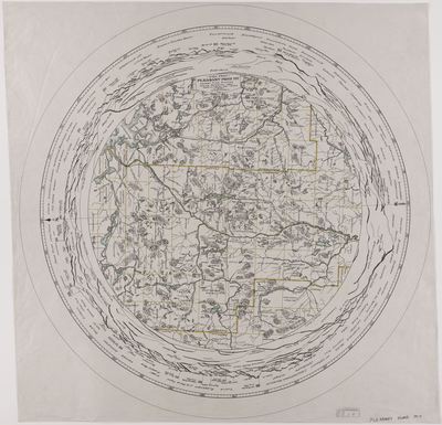
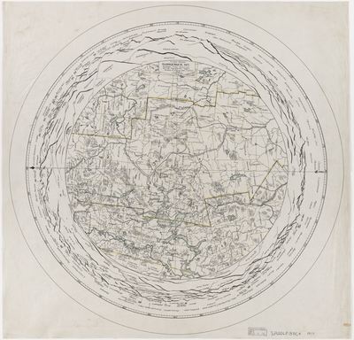
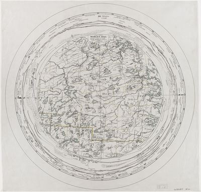
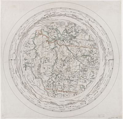
Commissioned by the Maine Forest Service, these circular maps display aerial and 360 degree panoramic views from many of the mountain top fire tower stations around the State of Maine.

Printing is not supported at the primary Gallery Thumbnail page. Please first navigate to a specific Image before printing.

Follow

Switch View to List View Slideshow
 
  • Daicey Mt. 1931 by Maine Forestry Service, Maine Department of Agriculture, Conservation and Forestry

    Daicey Mt. 1931

  • Dill Ridge 1931 by Maine Forestry Service, Maine Department of Agriculture, Conservation and Forestry

    Dill Ridge 1931

  • Frye Mt. 1931 by Maine Forestry Service, Maine Department of Agriculture, Conservation and Forestry

    Frye Mt. 1931

  • Howe Brook 1931 by Maine Forestry Service, Maine Department of Agriculture, Conservation and Forestry

    Howe Brook 1931

  • Lawler Hill 1931 by Maine Forestry Service, Maine Department of Agriculture, Conservation and Forestry

    Lawler Hill 1931

  • Mountain Hill 1931 by Maine Forestry Service, Maine Department of Agriculture, Conservation and Forestry

    Mountain Hill 1931

  • Peaked Mt. 1931 by Maine Forestry Service, Maine Department of Agriculture, Conservation and Forestry

    Peaked Mt. 1931

  • Trout Mt. 1931 by Maine Forestry Service, Maine Department of Agriculture, Conservation and Forestry

    Trout Mt. 1931

  • Whitney Hill 1930 by Maine Forestry Service, Maine Department of Agriculture, Conservation and Forestry

    Whitney Hill 1930

  • Cooper Ridge 1929 by Maine Forestry Service, Maine Department of Agriculture, Conservation and Forestry

    Cooper Ridge 1929

  • Musquash Mt. 1929 by Maine Forestry Service, Maine Department of Agriculture, Conservation and Forestry

    Musquash Mt. 1929

  • Oak Hill 1929 by Maine Forestry Service, Maine Department of Agriculture, Conservation and Forestry

    Oak Hill 1929

  • Pirate Hill 1929 by Maine Forestry Service, Maine Department of Agriculture, Conservation and Forestry

    Pirate Hill 1929

  • Carr Pond Mt. 1928 by Maine Forestry Service, Maine Department of Agriculture, Conservation and Forestry

    Carr Pond Mt. 1928

  • No. 4 Mt. 1928 by Maine Forestry Service, Maine Department of Agriculture, Conservation and Forestry

    No. 4 Mt. 1928

  • Kelly Mt. 1927 by Maine Forestry Service, Maine Department of Agriculture, Conservation and Forestry

    Kelly Mt. 1927

 
  • 1
  • 2
  • 3
  • 4
  • 5
  • 6


Search

Advanced Search

  • Notify me via email or RSS

Browse

  • State Agencies
  • Subjects
  • Contributors

For Agency Contributors

  • FAQs

Featured Links

  • Maine Government
  • Maine State Library
  • Maine State Agencies
  • Digital Maine Partners

Gallery Locations

  • View gallery on map
  • View gallery in Google Earth
 
Elsevier - Digital Commons

Home | About | FAQ | My Account | Accessibility Statement

Privacy Copyright