

Preview
Document Type
StillImage
Contributing Institution
Maine State Archives
Identifier
299136-I001
Description
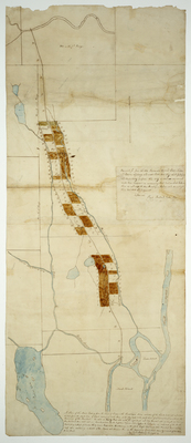
A Plan of the Road leading from the Town of Orono to the Piscataquis River and also of the lands laid out and lotted on said from the North line of land belonging to the heirs of Jonathan Southgate to the south line of a tract of land granted for the repairing of the Kennebeck. Includes lots in Alton.
Scale of 200 rods to 1 inch.
Exact Creation Date
1797
Language
English
Location
Penobscot County; Alton; Orono
Other Location
Penobscot River; Alton; Marsh Island; Orson Island; Orono Island; Pushaw Stream
Keywords
Cartography; Maps; Maine Land Office; Planbooks; Surveys