

Preview
Document Type
StillImage
Contributing Institution
Maine State Archives
Identifier
208227
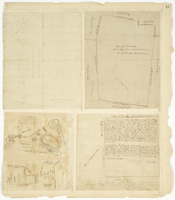
Description
A part of the Cape that lies between Ramondtown and Standish containing 645 acres (1792)
Tracts of land near Lovell (1794)
Tract of land in East Andover laid out for Benjamin Ames (1792)
Plan of Township 4 (1788) near Sudbury-Canada (now Bethel)
Broad Creation Date
1788-1794
Language
English
Location
Oxford County; Bethel; Andover; Lovell; Cumberland County; Raymond; Standish
Keywords
Cartography; Maps; Maine Land Office; Planbooks; Surveys
Rights Statement
No Copyright - United States. URI: http://rightsstatements.org/vocab/NoC-US/1.0/
The organization that has made the Item available believes that the Item is in the Public Domain under the laws of the United States, but a determination was not made as to its copyright status under the copyright laws of other countries. The Item may not be in the Public Domain under the laws of other countries. Please refer to the organization that has made the Item available for more information.