

Preview
Contributing Institution
Maine State Archives
Document Type
StillImage
Identifier
04-337294-I101
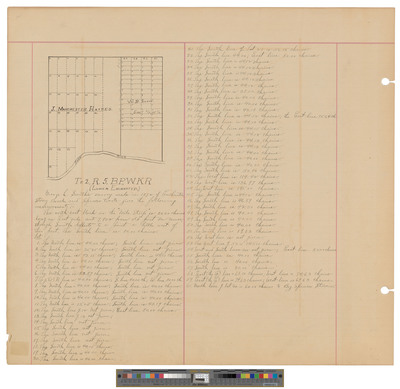
Description
Map of Township 2 Range 5 BKP WKR, Lower Enchanted Township. A sketch showing lots and land owners.
Exact Creation Date
1872
Dimensions
21.5 x 19.5
Language
English
Keywords
Maine; Maps; Cartography