

Preview
Contributing Institution
Maine State Archives
Document Type
StillImage
Identifier
302964
Description
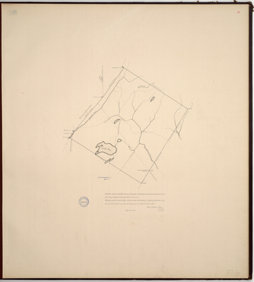
Page 11 of the Waldo County planbook. Survey of Davistown now known as Liberty and Montville. Scale of 200 rods to an inch. Copied from Massachusetts Archives Maps and Plans #2595. Notation on map "from Senate papers 1803, No. 2947."
Exact Creation Date
9-29-1803
Language
English
Location
Waldo County; Liberty; Montville
Other Location
Georges Pond; Sheepscot River; Hog Brook Mountain;
Keywords
Cartography; Maps; Maine Land Office; Planbooks; Surveys