

Preview
Contributing Institution
Maine State Archives
Document Type
StillImage
Identifier
29424
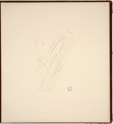
Description
Page 24 of the Kennebec County planbook. Survey of part of Winthrop. Shows boundary with Mount Vernon, Fayette, Livermore, and lots owned by the Plymouth Company. Copied from Massachusetts Archives Maps and Plans #1389.
Broad Creation Date
Unknown
Language
English
Location
Kennebec County; Winthrop
Keywords
Cartography; Maps; Maine Land Office; Planbooks; Surveys