


Preview
Contributing Institution
Maine Geological Survey
Document Type
Image
Identifier
10999
Description
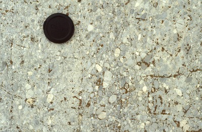
Bedded conglomerate, sorted by size. Well rounded clasts. Lens cap for scale. East shore of Rockport Harbor. Station 42 of Berry field notes.
Project Name: Camden Quadrangle Bedrock
Exact Creation Date
7-23-1998
Broad Creation Date
July, 1998
Location
Rockport
Supplemental Rights
Credit must be given to the photographer and the Maine Geological Survey when this photo is displayed, reproduced, distributed and/or used in derivative works.
Keywords
Camden; bedrock mapping