


Preview
Contributing Institution
Maine Geological Survey
Document Type
Image
Identifier
67283
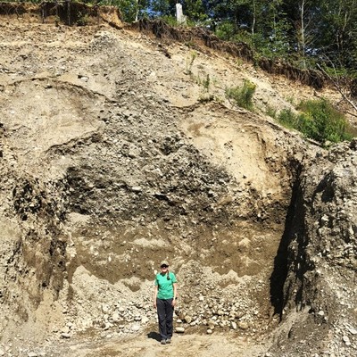
Description
Gravel pit exposure of esker sand and gravel in the Halfmoon Stream Valley.
Project Name: STATEMAP Unity Surficial
Location
Thorndike
Supplemental Rights
Credit must be given to the photographer and the Maine Geological Survey when this photo is displayed, reproduced, distributed and/or used in derivative works.
Keywords
STATEMAP; Unity quadrangle; surficial geology; esker; gravel pit