


Preview
Contributing Institution
Maine Geological Survey
Document Type
Image
Identifier
67170
Description
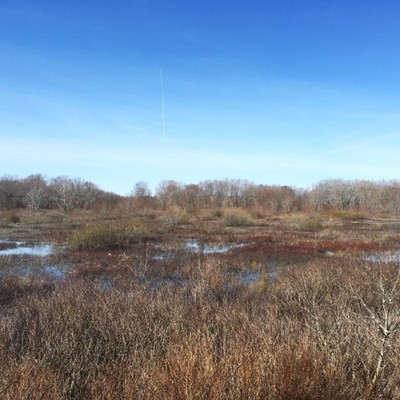
Low relief, generally shallow depth to bedrock, and fine-grained Presumpscot Formation deposits result in poor drainage and expansive wetlands in the Unity Pond quadrangle.
Project Name: STATEMAP Unity Pond Surficial
Location
Unity
Supplemental Rights
Credit must be given to the photographer and the Maine Geological Survey when this photo is displayed, reproduced, distributed and/or used in derivative works.
Keywords
STATEMAP; surficial geology; Unity Pond quadrangle