


Preview
Contributing Institution
Maine Geological Survey
Document Type
Image
Identifier
67164
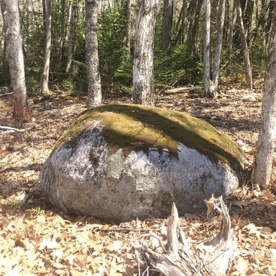
Description
This granite boulder was rounded during transport in glacial ice and is an “erratic” because it differs from the local metasedimentary bedrock.
Project Name: STATEMAP Unity Pond Surficial
Location
Troy
Supplemental Rights
Credit must be given to the photographer and the Maine Geological Survey when this photo is displayed, reproduced, distributed and/or used in derivative works.
Keywords
STATEMAP; surficial geology; Unity Pond quadrangle