


Preview
Contributing Institution
Maine Geological Survey
Document Type
Image
Identifier
2723
Description
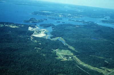
Cape Rosier w/ Harborside Mine in distance (flooded). View to the N.
Location
Brooksville
Supplemental Rights
Credit must be given to the photographer and the Maine Geological Survey when this photo is displayed, reproduced, distributed and/or used in derivative works.
Keywords
economic geology; Callahan Mine; cape rosier; harborside; flooded