


Preview
Contributing Institution
Maine Geological Survey
Document Type
Image
Identifier
MapID: 695
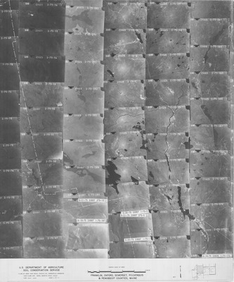
Description
Project Name:
Client: USDA Soil Conservation Service
Flown by: Mark Hurd Aerial Surveys, Inc
Photo Scale: 1:80,000
Comments: 1975 photos, only have 6 of 10 index images, none of the individual photos are in the cabinet.
MGS Aerial Photographs Map
Broad Creation Date
1975
Location
Franklin County; Somerset County
Keywords
aerial; photo; index map; Maine; Maine Geological Survey