

Preview
Document Type
StillImage
Contributing Institution
Maine State Archives
Identifier
206940
Description
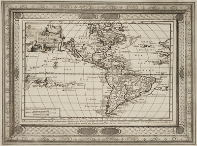
Decorative map of America, showing California as an Island, prepared to illustrate Vander Aa's Dutch translation of the report of Columbus' first voyage to America.
Includes an incomplete Great Lakes, unknown Northwest Coast of America, highly inaccurate mapping of the Mississippi River, the 7 Cities of Cibola and a largely incomplete knowledge of the region which would become New Zealand and Australia. South America misprojected in a very wide fashion.
Dimensions
8.25" x 11.25"
Language
Dutch
Keywords
Cartography; Maps