

Preview
Document Type
StillImage
Contributing Institution
Maine State Archives
Identifier
299004
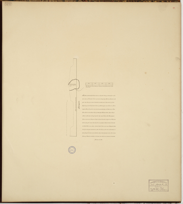
Description
Plan of T3 R1, New Vineyard, on the west side of the Kennebec River. Surveyed on a scale of 200 poles or rods to one inch. Copied from Massachusetts Archives Maps and Plans #1381.
Exact Creation Date
12-10-1795
Language
English
Location
Franklin County; New Vineyard
Keywords
Cartography; Maps; Maine Land Office; Planbooks; Surveys
Image Location
Rights Statement
No Copyright - United States. URI: http://rightsstatements.org/vocab/NoC-US/1.0/
The organization that has made the Item available believes that the Item is in the Public Domain under the laws of the United States, but a determination was not made as to its copyright status under the copyright laws of other countries. The Item may not be in the Public Domain under the laws of other countries. Please refer to the organization that has made the Item available for more information.