

Preview
Contributing Institution
Maine State Archives
Document Type
StillImage
Identifier
208424
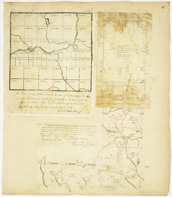
Description
Plan of T9 R6 WELS (Oxbow Plantation)
Plan of the west half of T3 R8 NWP containing 12,384 acres (Seboeis)
Plan of thirteen townships of land the joint property of the Commonwealth of Massachusetts & State of Maine (T4-8 R8-12)
Broad Creation Date
1831-1839
Language
English
Location
Aroostook County; Oxbow Plt; Penobscot County; Seboeis Plt; T4 R8 WELS; T5 R8 WELS; T6 R8 WELS; T7 R8 WELS; T8 R8 WELS
Keywords
Cartography; Maps; Maine Land Office; Planbooks; Surveys
Rights Statement
No Copyright - United States. URI: http://rightsstatements.org/vocab/NoC-US/1.0/
The organization that has made the Item available believes that the Item is in the Public Domain under the laws of the United States, but a determination was not made as to its copyright status under the copyright laws of other countries. The Item may not be in the Public Domain under the laws of other countries. Please refer to the organization that has made the Item available for more information.