


Preview
Contributing Institution
Maine Geological Survey
Document Type
Image
Identifier
MapID: 736
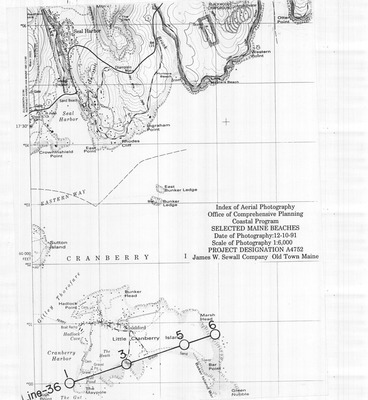
Description
Project Name: Beaches 1991
Client: Office of Comprehensive Planning - Coastal Program
Flown by: James W. Sewall
Photo Scale: 1:6,000
Comments:
MGS Aerial Photographs Map
Broad Creation Date
1991
Location
Hancock County
Keywords
aerial; photo; index map; Maine; Maine Geological Survey