


Preview
Contributing Institution
Maine Geological Survey
Document Type
Image
Identifier
MapID: 605
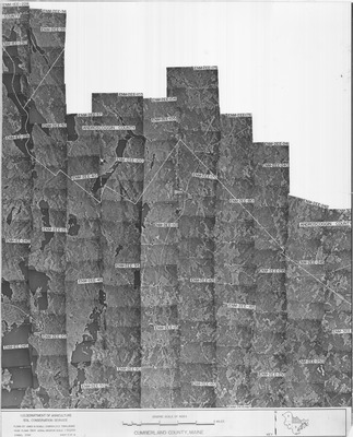
Description
Project Name:
Client: USDA Soil Conservation Service
Flown by: James W. Sewall
Photo Scale: 1:20,000
Comments:
MGS Aerial Photographs Map
Broad Creation Date
1964
Location
Cumberland County
Keywords
aerial; photo; index map; Maine; Maine Geological Survey