

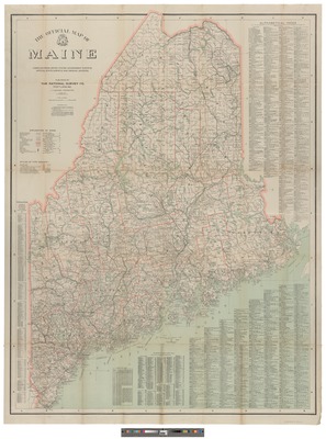
The Maine State Library and Maine State Archives hold an extensive collections of contemporary and historic maps of Maine and its environs. A significant subset of the maps are part of the Myron H. Avery Collection. The collection also includes a substantial number of USGS topographic maps of Maine.
Printing is not supported at the primary Gallery Thumbnail page. Please first navigate to a specific Image before printing.


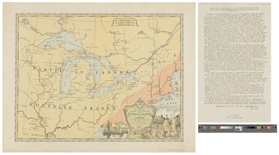
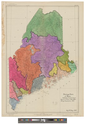
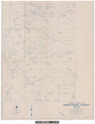
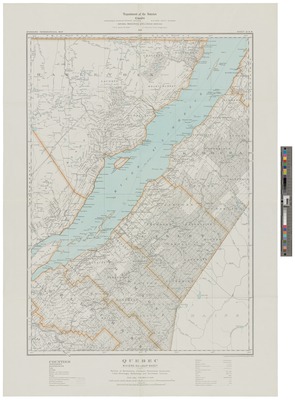
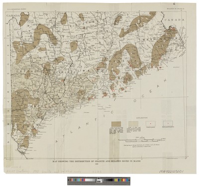
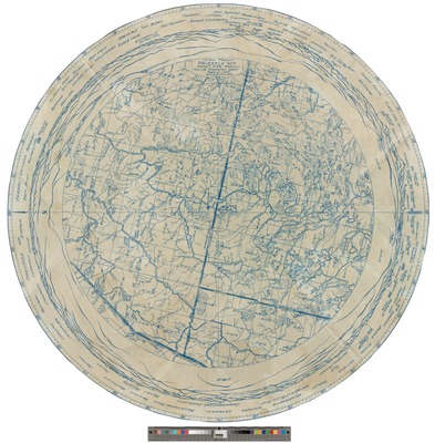
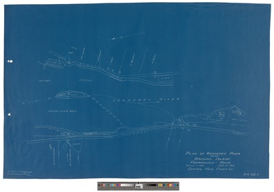
 1938")

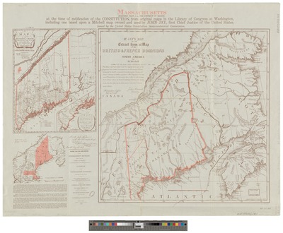
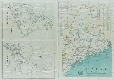
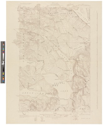
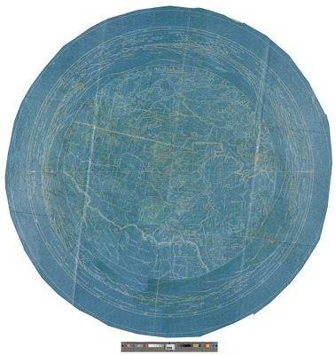
")


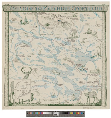
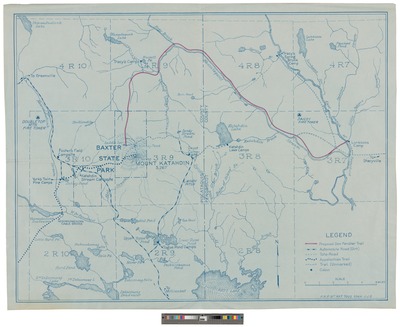
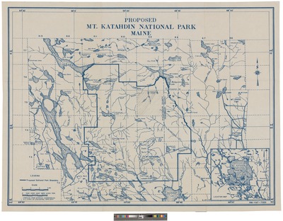
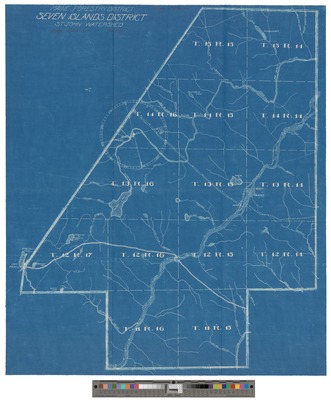
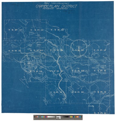
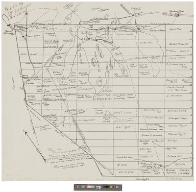
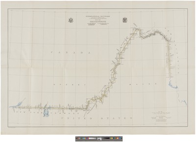
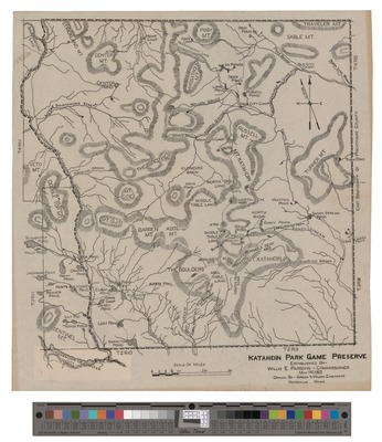
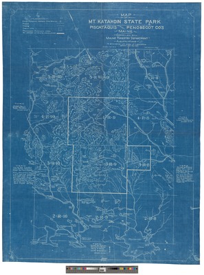
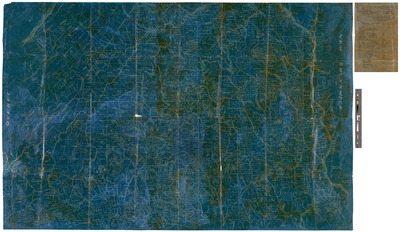
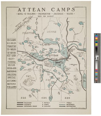
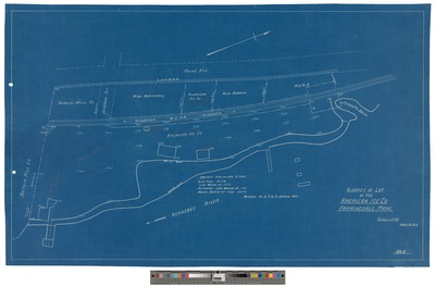
 1932 by Great Northern Paper Co and Myron Avery")


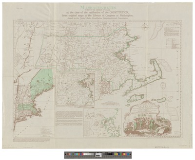
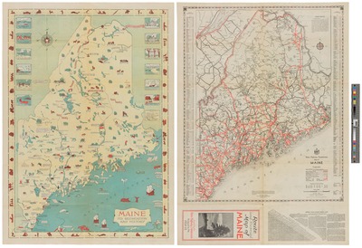
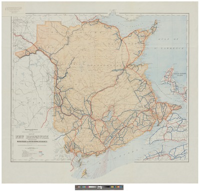
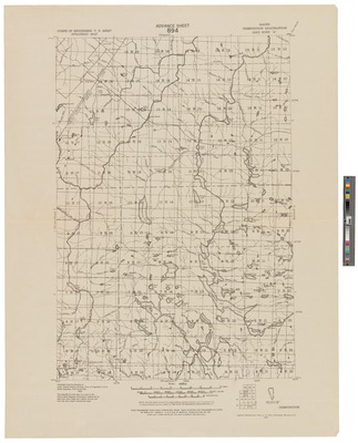
")


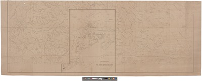
![Plan of the Undivided Lands : [Showing 28 Townships] 1845 by Isaac Small and Noah Barker](https://digitalmaine.com/maps/1091/thumbnail.jpg "Plan of the Undivided Lands : [Showing 28 Townships] 1845 by Isaac Small and Noah Barker")


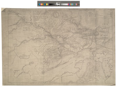
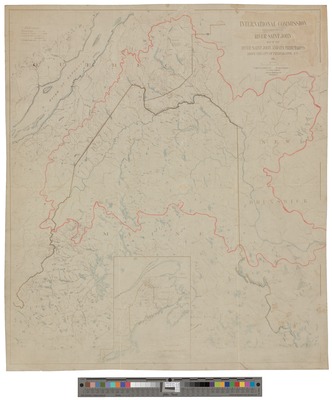
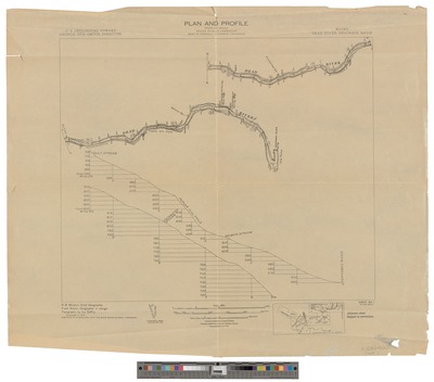
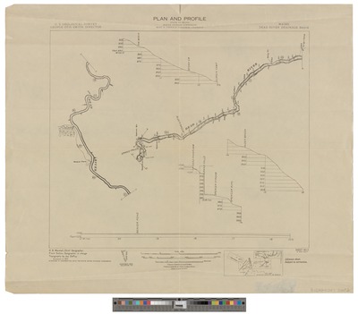
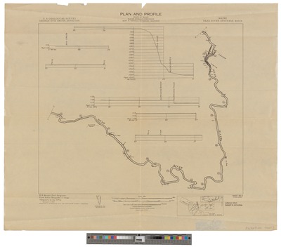
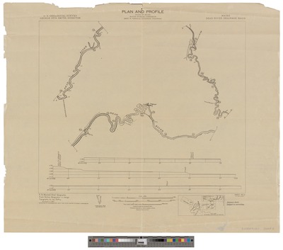
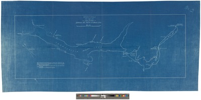
![Plan of St. Croix River and the Eastern Branch Lakes [cartographic material] : Also, a Section of the Western Branch : With Profiles Showing the Various Elevations of Water Power and Other Geological Formations : Likewise, the Adjacent Country Drawn From the Most Approved Surveys by William Anson and Maine Board of Internal Improvement](https://digitalmaine.com/maps/1282/thumbnail.jpg "Plan of St. Croix River and the Eastern Branch Lakes [cartographic material] : Also, a Section of the Western Branch : With Profiles Showing the Various Elevations of Water Power and Other Geological Formations : Likewise, the Adjacent Country Drawn From the Most Approved Surveys by William Anson and Maine Board of Internal Improvement")


