

Title
Preview
Document Type
StillImage
Contributing Institution
Maine State Archives
Description
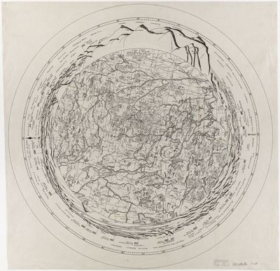
360 degree panoramic map centered on the Double Top fire tower located in Township 3 Range 10, ME, 1919.
Exact Creation Date
1-1-1919
Dimensions
30"x30"
Language
English
Location
T3 R10 WELS; Piscataquis County
Keywords
Maps; Fire Towers; Maine Forest Service; Double Top